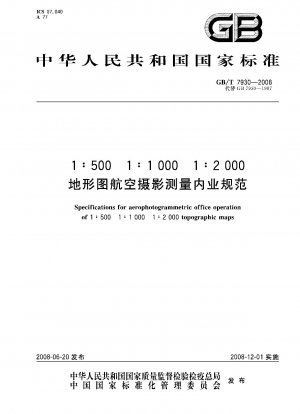
GB/T 7930-2008
Specification for aerophotogrammetric office operation of 1:500 1:1000 1:2000 topographic maps (English Version)
- Standard No.
- GB/T 7930-2008
- Language
- Chinese, Available in English version
- Release Date
- 2008
- Published By
- General Administration of Quality Supervision, Inspection and Quarantine of the People‘s Republic of China
- Latest
- GB/T 7930-2008
- Replace
- GB 7930-1987
- Scope
- This standard specifies the specifications, accuracy and basic requirements for office operations of 1:500, 1:1000, 1:2000 topographic maps using analog and analytical aerial photogrammetry methods. This standard applies to aerial photogrammetry office operations of 1:500, 1:1000 and 1:2000 topographic maps.
GB/T 7930-2008 Referenced Document
- CH 1002 Specifications for inspection and acceptance of surveying and mapping products
- CH 1003 Standard for quality assessment of surveying and mapping products
- CH/T 1001 General rules for technical summaries of surveying and mapping
- CH/T 1004 General rules for technical design of surveying and mapping
- GB/T 18315 Series and basic requirements of digital topographic maps
- GB/T 20257.1 Cartographic symbols for national fundamental scale maps—Part 1:Specifications for cartographic symbols 1︰500 1︰1 000 & 1︰2 000 topographic maps*, 2017-10-14 Update
- GB/T 6962 Specification for aerial photography of 1:500 1:1000 1:2000 scale topographic maps
- GB/T 7931 Specification for aerophotogrammetric field work of 1:500 1:1 000 1:2 000 topographic maps
GB/T 7930-2008 history
- 2008 GB/T 7930-2008 Specification for aerophotogrammetric office operation of 1:500 1:1000 1:2000 topographic maps
- 1987 GB 7930-1987 Specifications for aerophotogrammetric office operation 1:500,1:1000,1:2000 topographic maps
GB/T 7930-2008 Specification for aerophotogrammetric office operation of 1:500 1:1000 1:2000 topographic maps has been changed from GB 7930-1987 Specifications for aerophotogrammetric office operation 1:500,1:1000,1:2000 topographic maps.
